Karnataka is bracing for widespread rainfall from Saturday, May 16, as IMD tracks a well-marked low-pressure area over the Bay of Bengal that is driving cyclonic circulation up to 5.8 km. Bengaluru is forecast to see moderate to heavy showers, with rain chances possibly easing by Sunday. Several districts carry orange and yellow alerts for heavy rain, thunderstorms, lightning, and gusty winds of 40–50 kmph, with localized downpours reaching 64.5–115.5 mm.
A severe storm and heavy rains struck several Uttar Pradesh districts on Wednesday, killing at least 21 people across Bhadohi, Budaun, Fatehpur and Sonbhadra. Uprooted trees and damaged homes were reported, while rescue efforts were hampered by disrupted mobile networks. Officials are now assessing the full scale of damage and casualties.
Your news, in seconds
Get the Beige app — every story in 60 words, updated hourly. Free on iOS & Android.
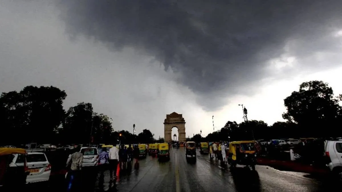
The IMD has issued fresh warnings for severe thunderstorms, lightning, heavy rainfall, squally winds and possible hail across multiple states, with Jharkhand among the most affected. Delhi-NCR and parts of Uttar Pradesh and nearby regions may also see thunderstorms. Meanwhile, intense heatwave conditions continue over western and central India, keeping the threat split between storms and sweltering heat.
The U.S. weather service has issued a tornado watch warning that severe storms, including possible tornadoes, could hit Friday night. The alert covers multiple areas across the country, urging residents to monitor forecasts closely and be ready for sudden weather changes. A full list of affected locations is being shared so people can check whether they’re at risk.
Swipe through stories, personalise your feed, and save articles for later — all on the app.