Karnataka is bracing for widespread rainfall from Saturday, May 16, as IMD tracks a well-marked low-pressure area over the Bay of Bengal that is driving cyclonic circulation up to 5.8 km. Bengaluru is forecast to see moderate to heavy showers, with rain chances possibly easing by Sunday. Several districts carry orange and yellow alerts for heavy rain, thunderstorms, lightning, and gusty winds of 40–50 kmph, with localized downpours reaching 64.5–115.5 mm.
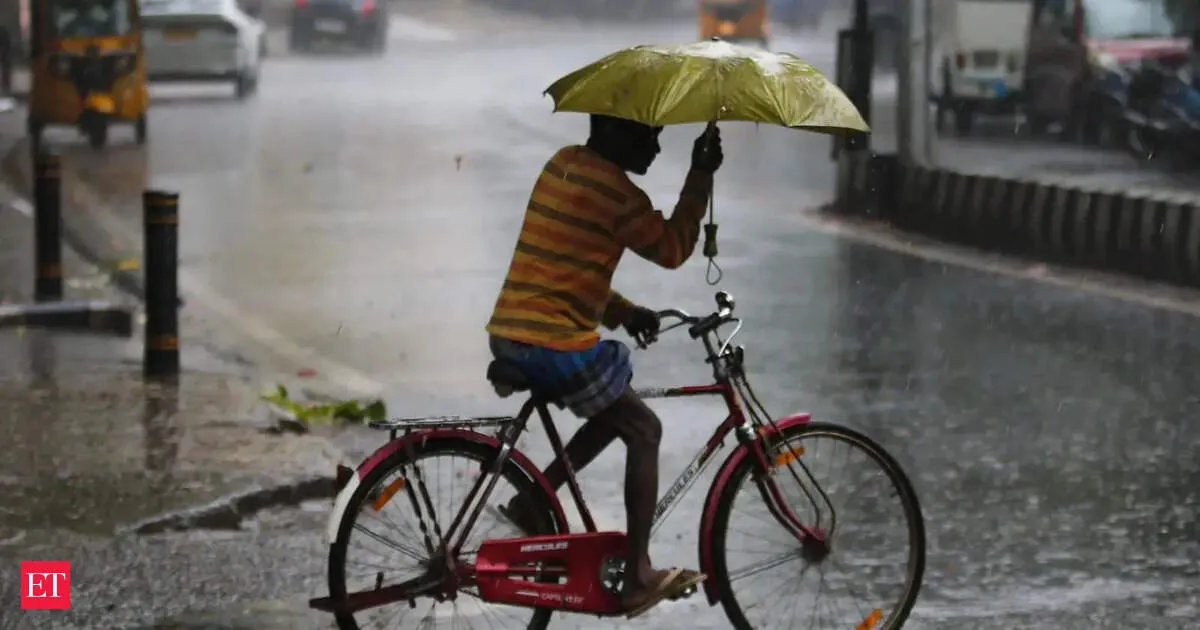
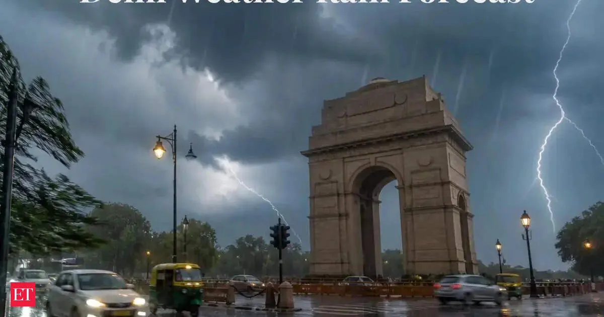
Delhi-NCR is under an IMD yellow alert for Tuesday as dust storms, thunderstorms and light rain move in across Delhi, Noida, Ghaziabad and Gurugram. Gusty winds are expected to reach 40–50 kmph, with forenoon showers possibly very light, then worsening through afternoon, evening and night. Lightning risk remains, and winds may touch 60 kmph at times. Thundery activity could continue Wednesday, while temperatures dip slightly before improving from Thursday onward.
Your news, in seconds
Get the Beige app — every story in 60 words, updated hourly. Free on iOS & Android.
Delhi and the NCR saw cloudy skies, light rain, and gusty winds on Wednesday as the IMD issued an orange alert for thunderstorms, lightning, and hailstorm activity across multiple zones. Thunderstorm conditions are expected to linger late into the night, with winds of 40–50 kmph and gusts up to 60 kmph in some areas. While rainfall remained minimal—Palam recorded just 0.1 mm—temperatures dipped slightly. Air quality stayed “moderate” with an AQI of 147 at 4 pm, and Thursday’s forecast remains partly cloudy with heat near 39°C.
Uttar Pradesh is bracing for further heavy rainfall, thunderstorms, and strong winds as the IMD issues orange alerts for Lucknow and Kanpur, with additional severe-weather risks in specific districts. The state has already mourned 104 deaths linked to recent storms, triggering immediate relief and compensation orders from Chief Minister Yogi Adityanath. New advanced weather forecasting systems are also being rolled out.
The IMD has issued alerts for thunderstorms, lightning, and heavy rain across multiple states as pre monsoon activity intensifies. Jharkhand, Bihar, and Maharashtra are among the regions likely to see severe weather. Delhi is also under a heatwave warning, while Rajasthan expects extreme heat and Kerala and West Bengal may receive significant rainfall.
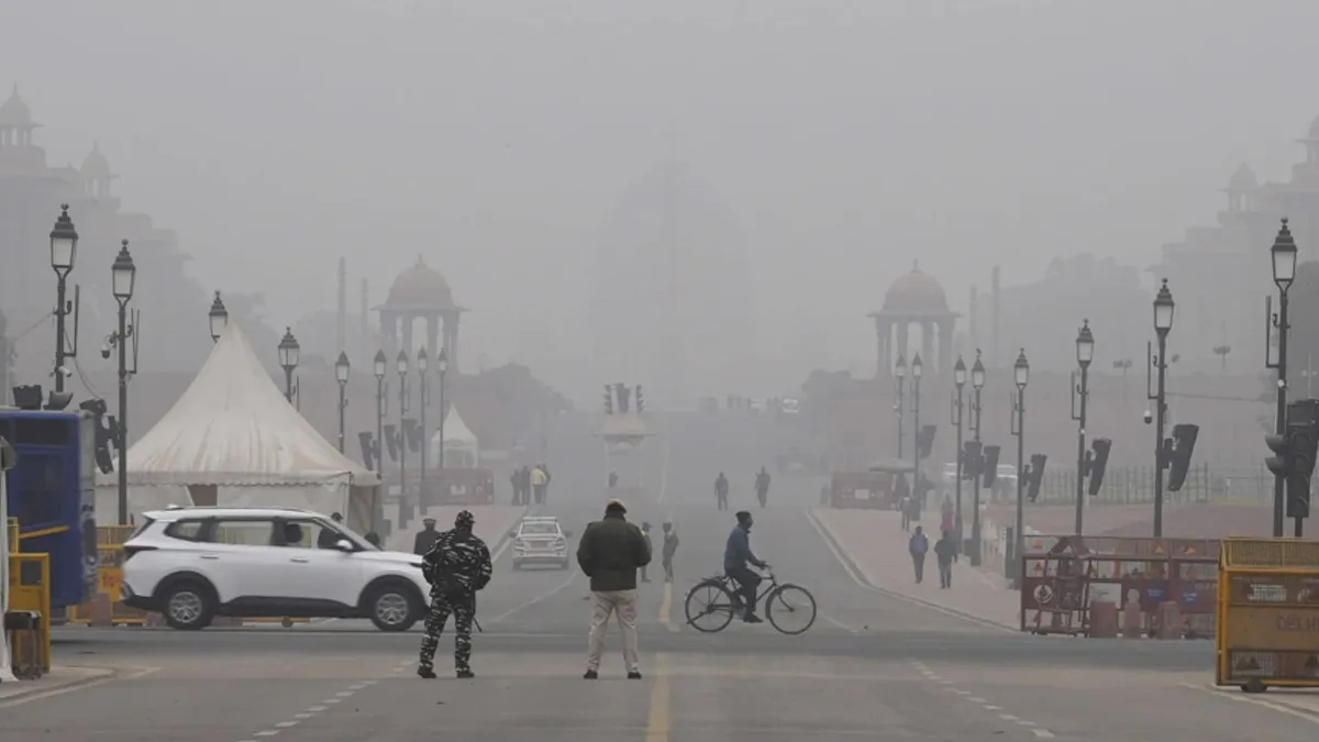
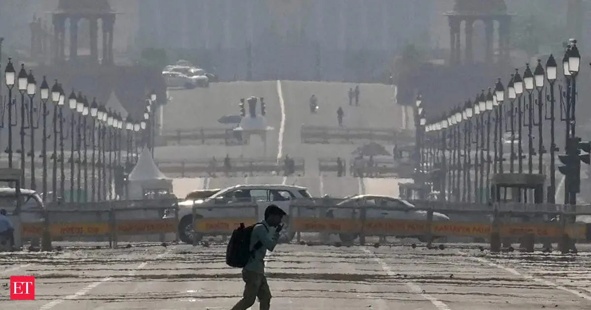
Delhi is set to face thunderstorms, lightning, and strong winds up to 50 kmph tonight, with maximum temperatures hovering around 37–39°C. The IMD forecast suggests conditions improve from May 14, turning clearer as temperatures climb to 40–42°C by May 17–18. Meanwhile, Delhi’s AQI is currently in the moderate range.
Never miss a story
Set alerts for the topics and sources you care about. Download Beige for free.
A rare elephant trunk-like waterspout surprised tourists off Odisha’s Astaranga coast. Dark clouds spawned a funnel that descended to the sea, whipping up a visible vortex. Locals call it Hatisunda, and weather experts linked it to a developing low-pressure system. Authorities also warned of more thunderstorms and gusty winds across Odisha in the coming period.
Delhi may finally get relief from days of dry heat as the IMD issues a rain and thunderstorm warning from Monday. Cloud cover and cooling rain are expected to nudge temperatures down slightly to around 35–37°C by Tuesday. The alert also covers parts of northwestern India, including Punjab, Haryana, and Himachal Pradesh, with gusty winds possible.
The Regional Weather Forecast Centre, Delhi, has issued a nowcast warning for light rainfall with thunderstorms, lightning and gusty winds of 30 to 50 kmph across Delhi and NCR within the next two hours. The alert follows similar showers earlier in the week. The IMD’s monthly outlook previously pointed to above-normal rainfall in May, while temperatures remain varied across regions.
The IMD has issued fresh warnings for severe thunderstorms, lightning, heavy rainfall, squally winds and possible hail across multiple states, with Jharkhand among the most affected. Delhi-NCR and parts of Uttar Pradesh and nearby regions may also see thunderstorms. Meanwhile, intense heatwave conditions continue over western and central India, keeping the threat split between storms and sweltering heat.
Reading on mobile?
Open Beige in the app for a smoother experience — free on iOS and Android.
Tamil Nadu is seeing a mixed summer pattern: coastal districts remain hot and humid, while western and southern areas may get thunderstorms and rain. Delta regions could also see scattered showers. Though no widespread extreme weather is expected, localized heavy rain is possible, meaning forecasts may vary sharply by district.
IMD has forecast another round of unstable weather for Delhi NCR. After recent rain and thunderstorms, cloudy skies are expected with light rain in the afternoon or evening, plus thunderstorms and gusty winds of 15 to 20 km/h. Temperatures on May 6 are predicted at 20 to 22°C minimum and 34 to 36°C maximum, with May 7 slightly warmer and more humid.
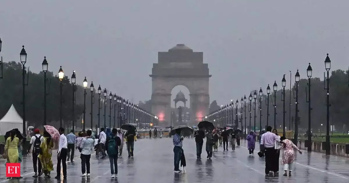
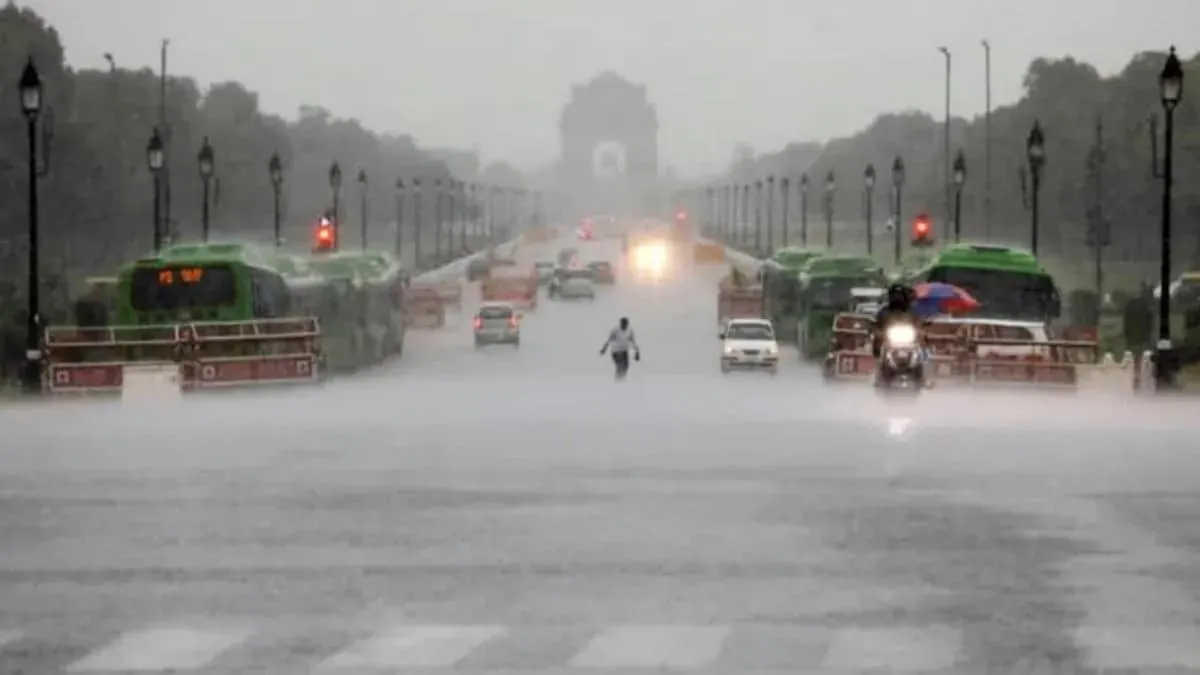
Delhi saw dramatic weather shifts on Tuesday, with rain and thunderstorms prompting five flight diversions at the airport. Temperatures fell sharply, offering relief from the heat, while the city logged what it called its cleanest air of the year. The weather department has issued a yellow alert for isolated rain later in the day.
Delhi has been placed under an IMD orange alert for thunderstorms, heavy rainfall, and gusty winds, with hail possible in isolated areas. Temperatures have dipped below normal, bringing a short break and improving air quality. However, the unsettled monsoon conditions are expected to continue for the next couple of days, impacting daily travel and outdoor plans.
Follow your favourite sources
Track sources, tags and categories — all in the Beige app.
A sudden hailstorm swept parts of Delhi on Tuesday evening, bringing heavy rain and brief relief after scorching early summer temperatures near 40°C. Areas such as Dwarka reported hail and steady rainfall, with videos spreading online as conditions changed quickly. The IMD had issued orange and yellow alerts for thunderstorms, gusty winds, and more wet spells ahead.
The IMD has issued a red alert for 42 districts in Uttar Pradesh, warning of thunderstorms and heavy rain, with some areas likely to see hailstorms and winds reaching up to 60 km/h. An orange alert is in place for 12 districts, while Lucknow has a yellow alert. The weather shift may bring relief from heat over the next five days.
West Bengal will likely see thunderstorms and rain until May 8, according to the IMD. The forecast points to heavy precipitation in sub-Himalayan districts, driven by favorable wind patterns and moisture streaming in from the Bay of Bengal. Temperatures are also expected to stay below normal across the state, making for cooler, rain-soaked days.
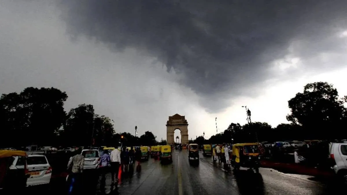
IMD has issued a yellow alert for Delhi and the NCR as a western disturbance triggers moderate rain, frequent thunderstorms and lightning, along with gusty winds reaching 40–50 kmph. Gurugram and Noida are especially on alert. The same system may also provide relief from the ongoing heatwave, but could disrupt daily travel until May 6.
Stay informed on the go
Bite-sized news from 100+ trusted sources, right in your pocket.
Delhi sweltered on Sunday with a maximum temperature of 36.6°C and pockets of light rain. The IMD has issued a yellow alert for thunderstorms and rain starting Monday, with cloudy, rainy conditions expected to continue until May 6. Heatwave conditions are not anticipated, and the city’s air quality remains moderate.
Delhi-NCR saw relief from intense heat after rain and thunderstorms hit several areas on Saturday night. The IMD issued yellow and orange warnings for heavy rainfall and stormy conditions. While temperatures rose in the morning, forecasts point to continued light rain and intermittent thunderstorms over the next few days, and officials say no heatwave is expected.
Swipe through stories, personalise your feed, and save articles for later — all on the app.