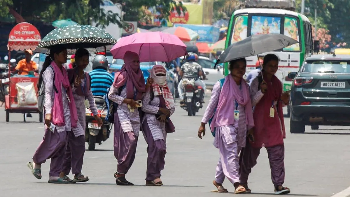
The India Meteorological Department (IMD) says it will revise its criteria for declaring heatwave conditions because the current parameters do not match India’s diverse geography. Kerala has struggled with warnings during a summer marked by severe heat and unusual humidity, including an anti-cyclone system forming unusually far south that kept nights unusually hot. IMD says night temperatures were 3 to 4 degrees Celsius above normal, and heatwave alerts were limited by station and threshold rules. Changes will be finalized after consulting disaster management authorities.
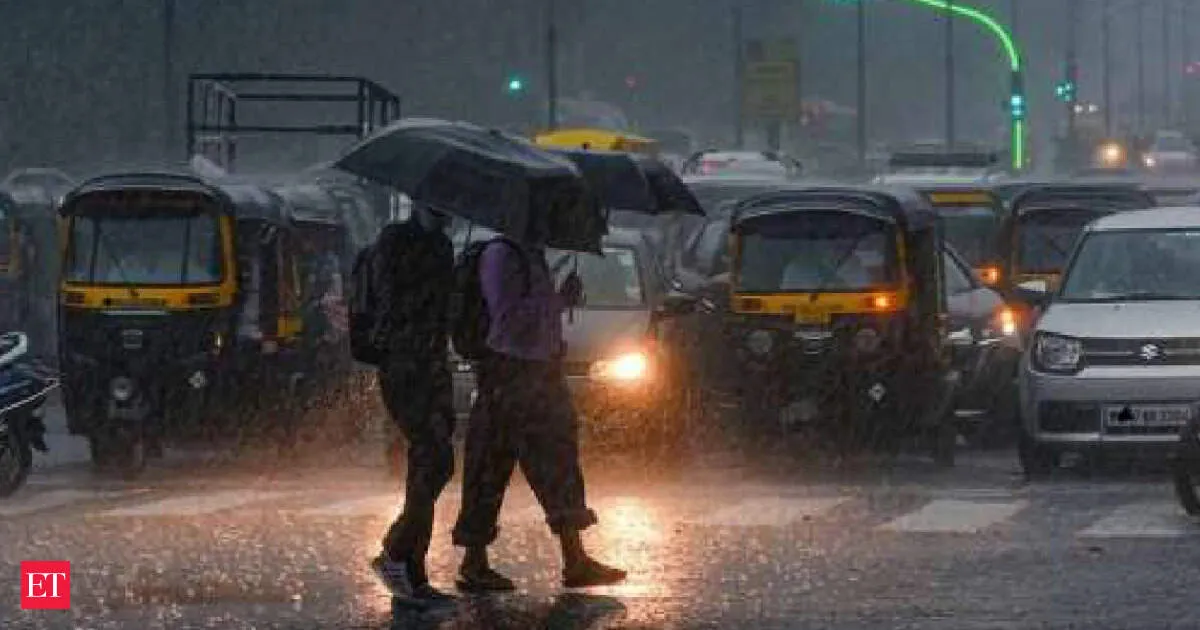
Karnataka is bracing for widespread rainfall from Saturday, May 16, as IMD tracks a well-marked low-pressure area over the Bay of Bengal that is driving cyclonic circulation up to 5.8 km. Bengaluru is forecast to see moderate to heavy showers, with rain chances possibly easing by Sunday. Several districts carry orange and yellow alerts for heavy rain, thunderstorms, lightning, and gusty winds of 40–50 kmph, with localized downpours reaching 64.5–115.5 mm.
Your news, in seconds
Get the Beige app — every story in 60 words, updated hourly. Free on iOS & Android.
India’s southwest monsoon is expected to begin over Kerala on May 26, six days earlier than the normal June 1 date, according to IMD. The early onset matters because it kickstarts sowing of kharif crops such as rice, pulses, oilseeds, cotton and sugarcane. But the season comes with a warning: IMD forecasts 2026 rainfall at 92% of the long-period average, citing El Nino concerns. Meanwhile, heatwave to severe heatwave conditions persist over northwest and central India.
The India Meteorological Department (IMD) expects the Southwest Monsoon to set in over Kerala on May 26, about five days ahead of its usual June 1 onset. IMD says the timing could shift up to four days earlier or later. Favourable conditions are already building over the south Bay of Bengal, the Andaman Sea, and the Andaman and Nicobar Islands, where the monsoon typically begins around May 20. IMD also projects seasonal rainfall of 80 cm versus a long-term average of 87 cm, citing El Nino.
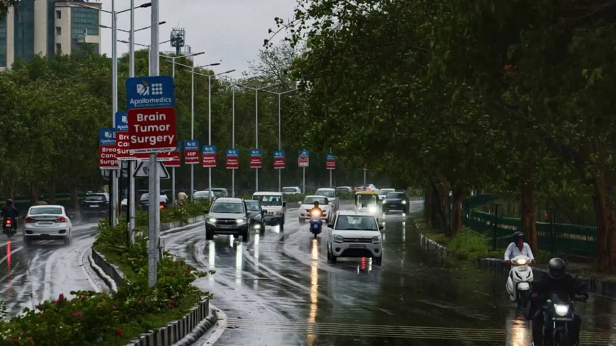
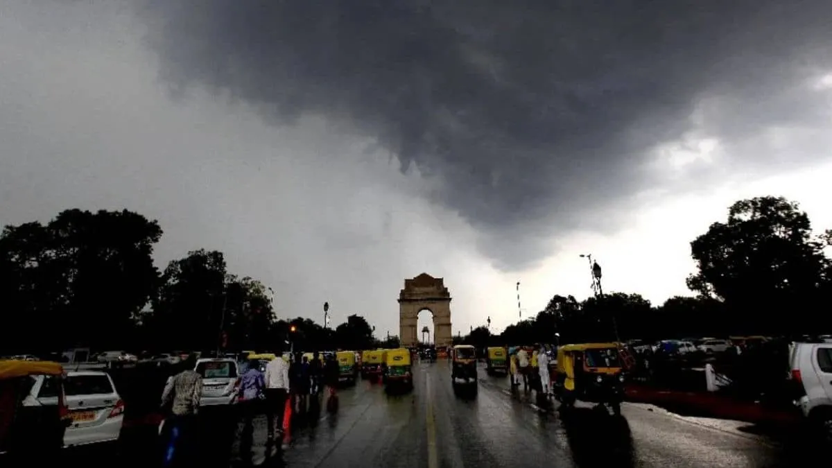
Delhi-NCR is under an IMD yellow alert for Tuesday as dust storms, thunderstorms and light rain move in across Delhi, Noida, Ghaziabad and Gurugram. Gusty winds are expected to reach 40–50 kmph, with forenoon showers possibly very light, then worsening through afternoon, evening and night. Lightning risk remains, and winds may touch 60 kmph at times. Thundery activity could continue Wednesday, while temperatures dip slightly before improving from Thursday onward.
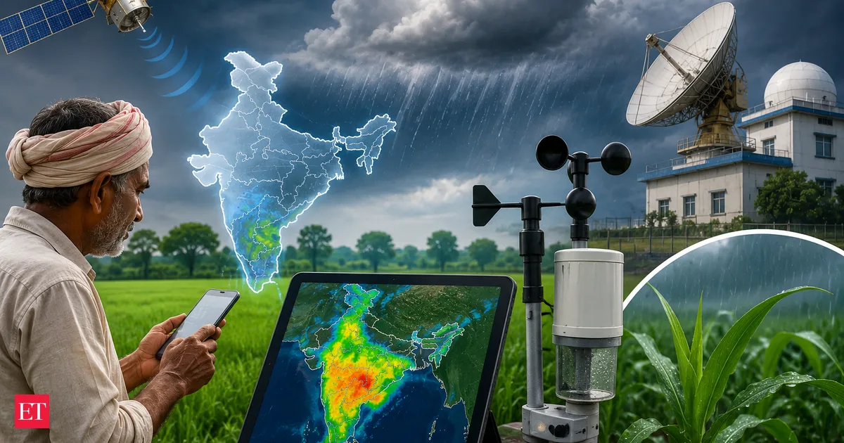
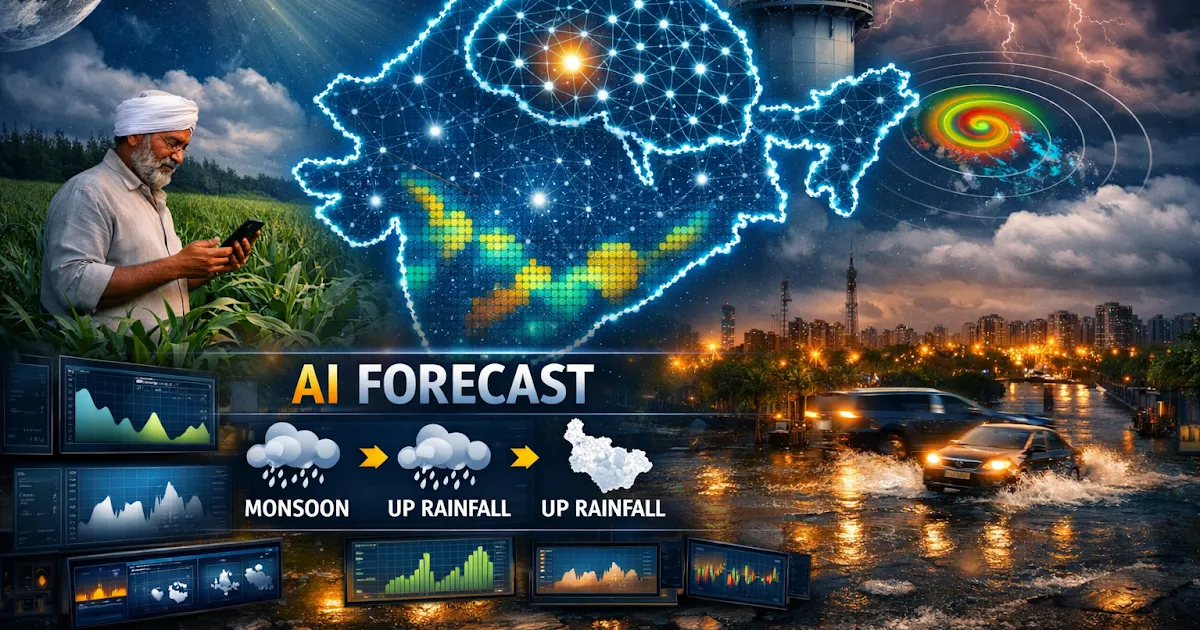
India Meteorological Department has launched an AI-enabled monsoon advance forecasting system, along with a high-resolution spatial rainfall forecast for Uttar Pradesh. The services are designed to deliver precise, location-specific rainfall information up to four weeks in advance. IMD says this will help farmers and other stakeholders make better decisions as monsoon planning depends on timely and accurate weather forecasts.
Never miss a story
Set alerts for the topics and sources you care about. Download Beige for free.
After a brief spell of rain and thunderstorms gave Delhi-NCR temporary relief, temperatures are climbing again. The India Meteorological Department has warned of heatwave-like conditions in the coming days, with parts of the region expected to cross 41°C. Residents are urged to stay hydrated, limit exposure to afternoon sun, and follow heat safety precautions.
Delhi, Varanasi and Raipur are seeing rain and storm activity as the southwest monsoon is forecast to advance over parts of the Bay of Bengal and Andaman Sea. The development comes despite severe heatwave conditions persisting across northwestern and central India, highlighting how quickly weather patterns are shifting across regions. IMD updates are key for next-day disruptions.
The IMD has issued alerts for thunderstorms, lightning, and heavy rain across multiple states as pre monsoon activity intensifies. Jharkhand, Bihar, and Maharashtra are among the regions likely to see severe weather. Delhi is also under a heatwave warning, while Rajasthan expects extreme heat and Kerala and West Bengal may receive significant rainfall.
India has unveiled two AI-enabled weather services: an advance monsoon forecast for 16 states and 3,000+ sub-districts, and a 1 km resolution rainfall model piloted in Uttar Pradesh. Built with IMD, IITM Pune and NCMRWF, the systems deliver hyper-local, probabilistic guidance up to four weeks and ten days ahead—supporting farmers, disaster response and infrastructure planning.
Reading on mobile?
Open Beige in the app for a smoother experience — free on iOS and Android.
The southwest monsoon is expected to reach the Bay of Bengal and Andaman Islands by the week’s end, signaling the start of India’s critical rainfall season. But the India Meteorological Department is forecasting below-average rainfall for the country overall, raising concerns for water supply and farm output. Crops such as paddy, pulses, and oilseeds depend on timely rains.
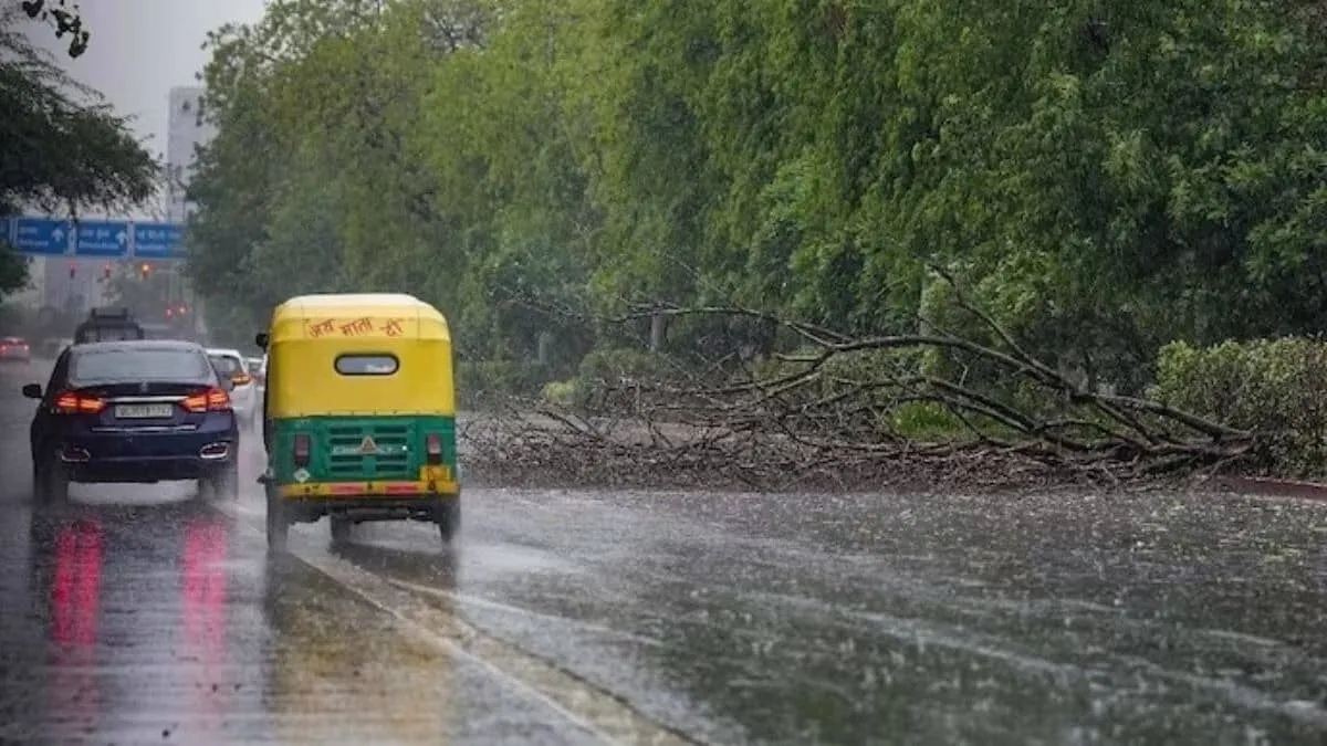
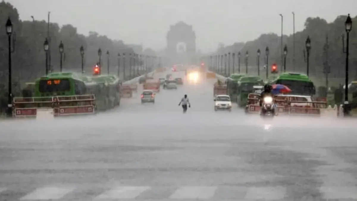
Delhi may finally get relief from days of dry heat as the IMD issues a rain and thunderstorm warning from Monday. Cloud cover and cooling rain are expected to nudge temperatures down slightly to around 35–37°C by Tuesday. The alert also covers parts of northwestern India, including Punjab, Haryana, and Himachal Pradesh, with gusty winds possible.
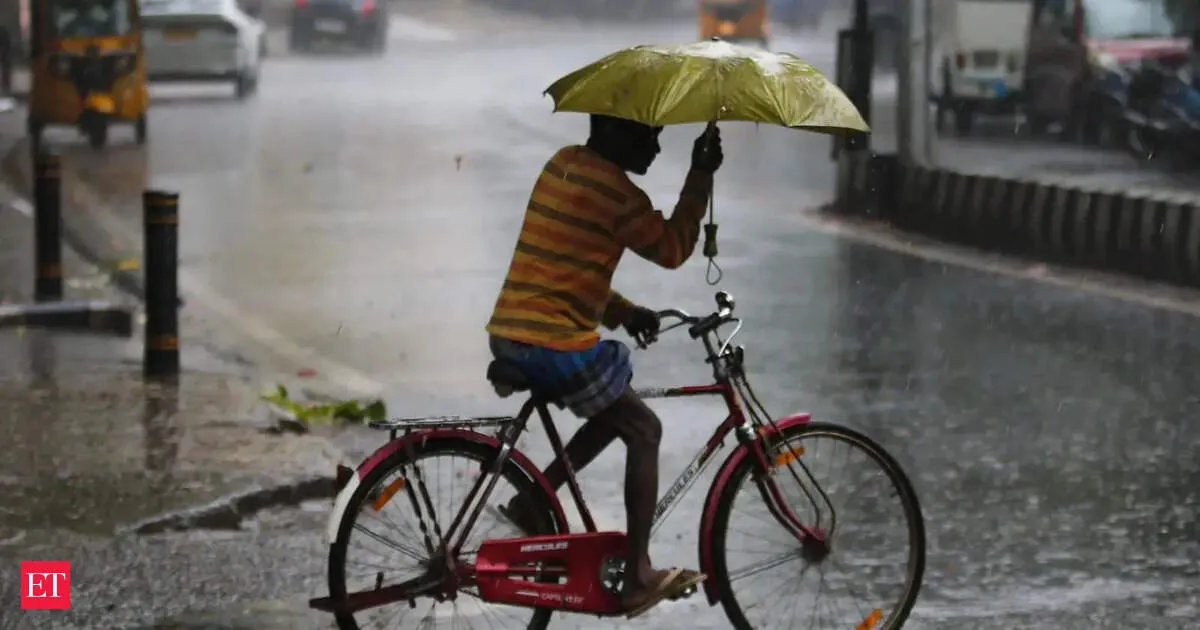
The Regional Weather Forecast Centre, Delhi, has issued a nowcast warning for light rainfall with thunderstorms, lightning and gusty winds of 30 to 50 kmph across Delhi and NCR within the next two hours. The alert follows similar showers earlier in the week. The IMD’s monthly outlook previously pointed to above-normal rainfall in May, while temperatures remain varied across regions.
The IMD has issued fresh warnings for severe thunderstorms, lightning, heavy rainfall, squally winds and possible hail across multiple states, with Jharkhand among the most affected. Delhi-NCR and parts of Uttar Pradesh and nearby regions may also see thunderstorms. Meanwhile, intense heatwave conditions continue over western and central India, keeping the threat split between storms and sweltering heat.
Follow your favourite sources
Track sources, tags and categories — all in the Beige app.
India’s southwest monsoon may be on track this year, with IMD forecasts pointing to heavy rainfall and storms across parts of southern India over the next week. Weather agencies say intensifying pre-monsoon showers and shifting atmospheric patterns over Australia are aligning in a way that could support timely monsoon onset, offering early relief from the heat.
The IMD expects the Southwest Monsoon to reach the Andaman and Nicobar Islands around May 20. With forecasts pointing to below average rainfall, farmers face uncertainty as the kharif sowing window starts in June. Timing and uneven rain distribution could delay planting of pulses and oilseeds, with potential knock-on effects for food inflation.
IMD has forecast another round of unstable weather for Delhi NCR. After recent rain and thunderstorms, cloudy skies are expected with light rain in the afternoon or evening, plus thunderstorms and gusty winds of 15 to 20 km/h. Temperatures on May 6 are predicted at 20 to 22°C minimum and 34 to 36°C maximum, with May 7 slightly warmer and more humid.
The IMD has issued a red alert for 42 districts in Uttar Pradesh, warning of thunderstorms and heavy rain, with some areas likely to see hailstorms and winds reaching up to 60 km/h. An orange alert is in place for 12 districts, while Lucknow has a yellow alert. The weather shift may bring relief from heat over the next five days.
Stay informed on the go
Bite-sized news from 100+ trusted sources, right in your pocket.
West Bengal will likely see thunderstorms and rain until May 8, according to the IMD. The forecast points to heavy precipitation in sub-Himalayan districts, driven by favorable wind patterns and moisture streaming in from the Bay of Bengal. Temperatures are also expected to stay below normal across the state, making for cooler, rain-soaked days.
IMD has issued a yellow alert for Delhi and the NCR as a western disturbance triggers moderate rain, frequent thunderstorms and lightning, along with gusty winds reaching 40–50 kmph. Gurugram and Noida are especially on alert. The same system may also provide relief from the ongoing heatwave, but could disrupt daily travel until May 6.
Swipe through stories, personalise your feed, and save articles for later — all on the app.